Infrastructure Planning & Inspection Support
Building and maintaining submerged structures requires absolute precision. Clear Water Products delivers high-resolution underwater data and bathymetric mapping to support the safe planning, construction, and inspection of critical marine and waterway infrastructure.


What is Infrastructure Mapping Support?
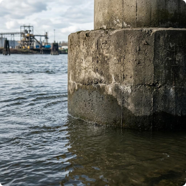
When engineering dams, bridges, pipelines, or water intakes, you must understand the exact topographical conditions of the riverbed or lake floor. Our surveying services provide detailed 3D models of the underwater terrain around your infrastructure. We identify structural scour, locate submerged hazards, and map bottom contours to ensure your project is built on a safe, solid foundation.
High-Resolution Inspection Technology
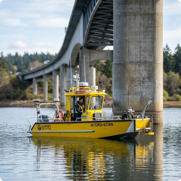
Using advanced sonar and RTK GPS, our survey vessels capture thousands of data points per minute around your submerged assets. This technology allows us to safely inspect the integrity of underwater foundations and intake grates without the immediate need for commercial divers. We provide precise, actionable data for municipal and industrial facility managers.
Why Underwater Data Matters
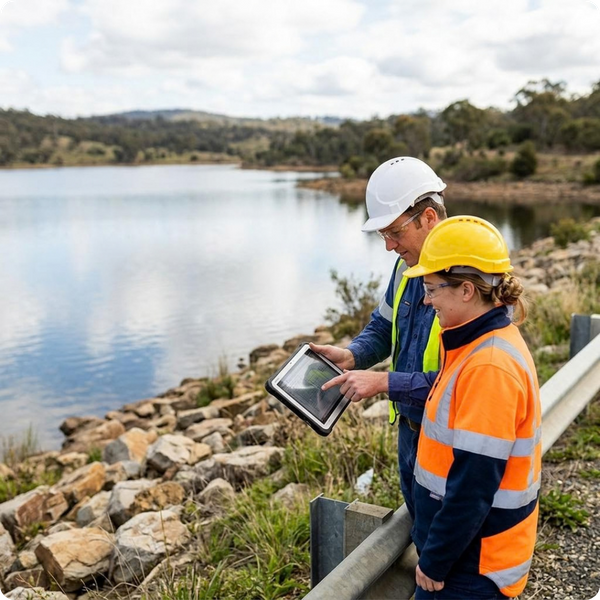
Operating without accurate underwater mapping can lead to catastrophic structural failures and project delays. Unseen sediment can block critical industrial intakes, while hidden scouring can weaken bridge supports. Our data empowers engineers to make informed decisions, ensuring regulatory compliance and protecting massive financial investments in water infrastructure.
Certified Safety and Reliability
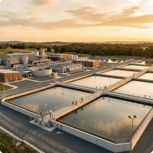
Working near dams, industrial intakes, and active construction sites demands strict safety protocols. The crews at Clear Water Products hold essential certifications, including OSHA and Safeland standards. We bridge the gap between heavy industrial capability and precision data collection, mobilizing nationwide to support your most complex infrastructure projects safely.
Get In Touch To Schedule A Consultation
Protect your critical waterway infrastructure with precise, data-driven mapping. Don't let unseen underwater hazards or structural scouring compromise your operations. Partner with our experts to secure the blueprints and inspection data you need for lasting success.